

Odisha is likely to witness a spell of widespread rainfall over the next five days as an active cyclonic circulation continues to influence weather conditions across the state. The India Meteorological Department (IMD) has forecast light to moderate rain at many places, accompanied by thunderstorms and lightning.
For Friday, the weather department has issued an Orange Warning for Mayurbhanj, where heavy to very heavy rainfall is likely. A Yellow Warning has been issued for the remaining 29 districts, indicating the possibility of adverse weather conditions at isolated places.
Mayurbhanj Under Orange Warning
According to the IMD forecast, Mayurbhanj is likely to experience the strongest rainfall activity on Friday.
The district may witness heavy to very heavy rainfall, along with thunderstorms, lightning and gusty winds. Residents have been advised to remain cautious, particularly during periods of intense weather activity.
The remaining districts of Odisha are under a Yellow Warning, with the possibility of rain and thunderstorms at several locations.
Thunderstorms and Lightning Expected Across State
The IMD has also issued a statewide weather alert for Saturday, with thunderstorms and rainfall expected to continue as the active weather system persists.
The weather department has advised people to take necessary precautions during thunderstorms and lightning and to follow official weather updates.
Gusty winds accompanying thunderstorms may reach speeds of around 30 to 40 kmph in some areas.
Another Cyclonic Circulation Likely Over Bay of Bengal
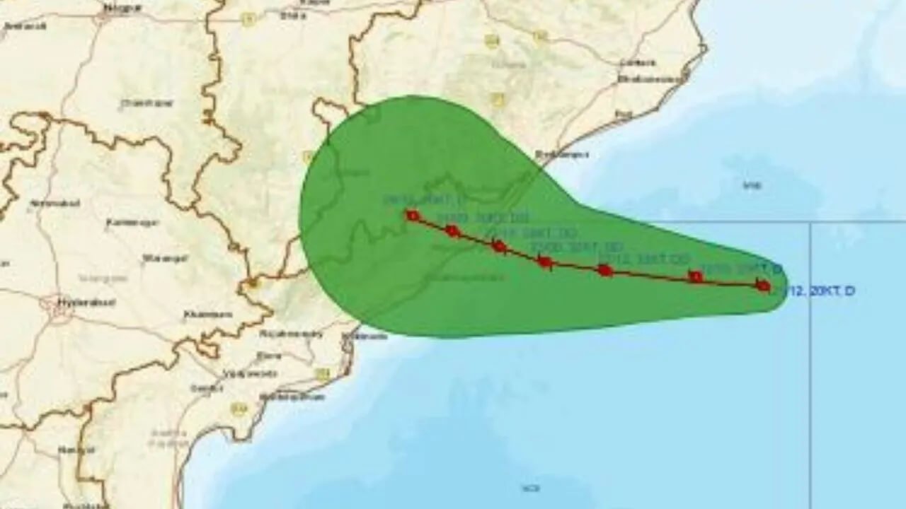
Weather conditions could become more active next week with the possibility of another cyclonic circulation developing over the northwest Bay of Bengal around August 12.
According to the forecast, the system could influence weather conditions over northern and coastal Odisha, potentially triggering another spell of heavy to very heavy rainfall in these areas.
The development will be closely monitored as the system’s movement and intensity become clearer.
Meteorological Centre Explains Weather System
Manorama Mohanty, Director of the Bhubaneswar Meteorological Research Centre, explained that an upper-air cyclonic circulation is currently positioned over the northwest Bay of Bengal and adjoining north Odisha-Gangetic West Bengal coasts.
Another upper-air cyclonic circulation is located over south Gangetic West Bengal and adjoining Bangladesh.
According to her, the combined influence of these systems is likely to bring light to moderate rainfall across the entire state, while isolated areas could receive significantly heavier precipitation.
She said districts such as Mayurbhanj could receive heavy to very heavy rainfall accompanied by thunder and lightning, with gusty winds reaching 30–40 kmph.
Authorities Urge People to Remain Alert
With rainfall expected to continue over the coming days, residents in vulnerable and low-lying areas have been advised to remain alert. People should avoid unnecessary outdoor movement during thunderstorms and take shelter in safe locations during lightning activity.
The latest forecast comes amid an active monsoon phase in Odisha, with the IMD continuing to monitor the cyclonic circulations and their potential impact on rainfall distribution across the state.