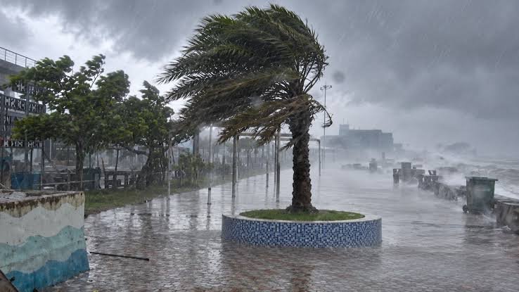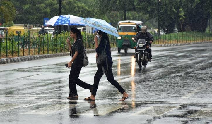


Bhubaneswar: Odisha could see another spell of active monsoon weather as the India Meteorological Department (IMD) has indicated the possibility of a fresh low-pressure area developing over the Bay of Bengal around September 11.
The weather system is likely to form over the west-central and adjoining northwest Bay of Bengal. If it develops as anticipated, the system could influence weather conditions over north Andhra Pradesh and southern coastal Odisha, potentially increasing rainfall activity in parts of the state.
Several districts are already expected to receive light to moderate rain accompanied by thunderstorms and lightning, while heavier rainfall has been forecast in northern Odisha.
Yellow Warning Issued for 15 Odisha Districts
The weather department has issued a yellow warning for 15 districts for today amid the possibility of thunderstorms, lightning and rainfall.
The districts under the warning are:
- Ganjam
- Gajapati
- Nayagarh
- Khordha
- Puri
- Cuttack
- Jagatsinghpur
- Kendrapara
- Jajpur
- Bhadrak
- Balasore
- Keonjhar
- Mayurbhanj
- Sundargarh
- Jharsuguda
Light to moderate rainfall is likely in several areas, with thunderstorms and lightning also possible.
The IMD has advised residents to exercise caution during periods of lightning and thunderstorms, particularly in open and exposed locations.
Orange Alert for Mayurbhanj and Keonjhar
Weather conditions are expected to become more intense in parts of northern Odisha on September 10.
An orange warning has been issued for Mayurbhanj and Keonjhar, where heavy to very heavy rainfall is likely. Balasore is also expected to experience heavy rainfall during the period.
The forecast has prompted heightened attention in the northern districts, particularly in areas vulnerable to waterlogging and localised flooding following intense rainfall.
Yellow Warning Across 23 Districts
Apart from the orange-alert districts, a yellow warning has been issued for 23 districts for rainfall on September 10.
The remaining seven districts have not been issued any weather warning for the period.
The district-wise alerts reflect the possibility of varying rainfall intensity across Odisha, with northern parts expected to receive comparatively heavier rainfall while other areas could experience thunderstorms and moderate rain.
Fresh Low-Pressure Area May Increase Rainfall Activity
The possible formation of another low-pressure area around September 11 could further influence Odisha’s weather.
The system is expected to develop over the west-central and adjoining northwest Bay of Bengal. Its eventual movement and intensity will determine how significantly it affects rainfall over Odisha and neighbouring Andhra Pradesh.
Southern coastal Odisha could be among the areas influenced by the system, although the exact impact will become clearer as the weather system develops.
Thunderstorm and Lightning Precautions Advised
With thunderstorms and lightning forecast across several parts of the state, residents have been advised to remain cautious during adverse weather.
People should avoid open areas during lightning activity and seek shelter in safe buildings whenever thunderstorms develop. Farmers, outdoor workers and people travelling during periods of intense weather are particularly advised to monitor official weather updates.
Authorities are also expected to keep a close watch on rainfall conditions in districts covered by orange and yellow warnings.
Odisha Weather to Remain Under Watch
The possibility of a new low-pressure system adds another element to Odisha’s ongoing monsoon weather activity. With heavy rainfall already forecast in parts of northern Odisha and another system potentially forming over the Bay of Bengal, weather conditions are likely to remain under close observation.
The IMD’s subsequent bulletins will provide greater clarity on the strength, movement and impact of the possible September 11 low-pressure area.
Residents are advised to follow official weather alerts and district-level advisories as the situation evolves.