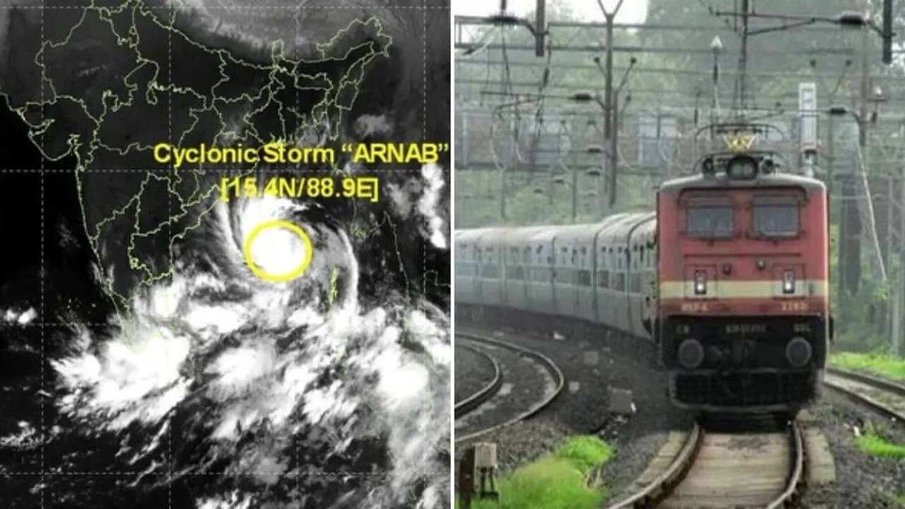


Bhubaneswar: Very Severe Cyclonic Storm Arnab has intensified over the west-central Bay of Bengal, prompting warnings of destructive winds, heavy rainfall and possible flooding across several states. According to India Meteorological Department (IMD) Director General Mrutyunjay Mohapatra, the cyclone was centred around 240 kilometres east-southeast of Kakinada in Andhra Pradesh, with sustained wind speeds of 140–150 kmph and gusts reaching up to 165 kmph.
The weather system is moving slowly towards the west-northwest and is expected to cross the Andhra Pradesh–Yanam coast between Bapatla and Visakhapatnam, around the Yanam and Kakinada region, on the morning of October 28, according to the forecast provided.
Odisha is also preparing for the cyclone’s impact, particularly in its southern coastal and adjoining inland districts, where strong winds and heavy to very heavy rainfall are expected.
Cyclone Arnab’s Position, Wind Speed and Expected Landfall
According to IMD Director General Mrutyunjay Mohapatra, Cyclone Arnab was located over the west-central Bay of Bengal, approximately 240 kilometres east-southeast of Kakinada.
The storm was packing sustained winds of 140–150 kmph, with gusts reaching up to 165 kmph. It was moving slowly in a west-northwest direction, with landfall forecast along the Andhra Pradesh–Yanam coast on the morning of October 28.
At the time of landfall, wind speeds are expected to reach 125–135 kmph, with gusts of up to 150 kmph. Such conditions could cause significant damage to infrastructure, vegetation, houses and agricultural fields in the affected areas.
Strong Winds May Damage Houses, Roads and Power Infrastructure
The IMD has warned that the cyclone’s powerful winds could uproot large trees, break branches and damage electricity and telephone poles. Thatched houses and buildings with tin or asbestos roofs may also suffer damage.
Unpaved roads could be affected, while standing crops may face losses due to strong winds and heavy rainfall.
Coastal Andhra Pradesh is expected to experience the strongest winds. Districts north of Visakhapatnam may experience wind speeds of 90–120 kmph, according to the forecast outlined in the report.
Coastal southern Odisha could experience winds of 60–80 kmph, with gusts reaching 90 kmph. Similar conditions are expected in parts of southern Chhattisgarh and northeastern Telangana.
Southern Odisha Faces Strong Winds and Heavy Rainfall
Odisha is preparing for adverse weather conditions as Cyclone Arnab approaches the Andhra Pradesh coast. Coastal districts in southern Odisha are likely to experience wind speeds of 60–80 kmph, with gusts of up to 90 kmph.
The impact could also extend to inland districts, including Koraput, Nabarangpur, Malkangiri and Rayagada. According to Mohapatra, the cyclone’s centre is expected to reach the adjoining inland areas around the evening of October 28, bringing strong winds and potentially disruptive weather.
These conditions could lead to falling trees, power disruptions, road blockages and damage to vulnerable structures. Heavy rainfall may also increase the risk of waterlogging and flooding in low-lying areas.
Residents in potentially affected districts are advised to follow official weather bulletins and instructions issued by local authorities.
Heavy to Extremely Heavy Rainfall Forecast Across Several States
Heavy to very heavy rainfall has reportedly begun over North Andhra Pradesh and coastal Odisha. Some areas are likely to receive extremely heavy rainfall on October 28, increasing the possibility of flooding and disruption to normal life.
As the weather system moves inland, rainfall is expected to shift northward on October 29, affecting parts of Chhattisgarh, Odisha, Jharkhand, Bihar and eastern Uttar Pradesh.
The combination of intense rainfall and strong winds could put pressure on drainage systems, affect road connectivity and disrupt transport services. Authorities in vulnerable areas are expected to monitor river levels, urban drainage and locations susceptible to flooding.
Flooding and Landslides Pose Additional Risks
The IMD Director General has warned of possible coastal, riverine and urban flooding due to the cyclone and associated rainfall.
The Eastern Ghats could also experience landslides and mudslides, particularly in areas receiving intense or prolonged rainfall. Such incidents may block roads, disrupt transportation and create risks for people living in vulnerable locations.
The possibility of falling trees, damaged power lines and localised flooding further highlights the need for precautionary measures in areas likely to experience severe weather.
Residents should avoid crossing flooded roads or streams and should follow evacuation instructions issued by the administration wherever necessary.
Extremely Rough Seas; Fishermen Advised to Return to Safety
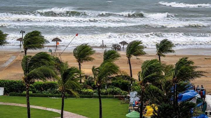
Sea conditions are expected to remain extremely rough as Cyclone Arnab moves towards the coast. The report warns that waves could exceed 14 metres, creating dangerous conditions for fishing and other maritime activities.
Fishermen have been advised to return to safety and follow official warnings regarding sea conditions. Shipping operations and coastal tourism activities should remain regulated in accordance with the instructions of the relevant authorities.
People living near the coast should remain alert to official advisories and avoid venturing into the sea during hazardous conditions.
Authorities Urged to Remain Alert as Cyclone Approaches
With Cyclone Arnab expected to cross the Andhra Pradesh coast on October 28, Odisha and neighbouring states face the possibility of heavy rainfall, strong winds and related disruptions.
Southern Odisha’s coastal and inland districts could experience significant weather impacts, making preparedness and timely communication essential. Residents should secure loose objects, stay away from damaged electrical lines and keep track of official warnings.
The cyclone’s movement and intensity may change, so the latest updates from the IMD and state disaster management authorities should be treated as the primary source of information.