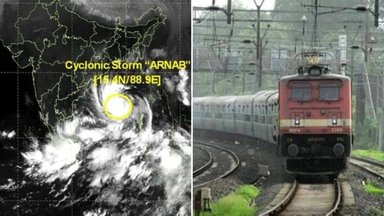


Bhubaneswar: Even as Odisha continues to assess the impact of Cyclone Arnab, another weather system is likely to develop over the South Andaman Sea and adjoining areas, according to the India Meteorological Department (IMD).
The weather department indicated on Wednesday that a fresh Low Pressure Area could form over the region within the next 24 hours, potentially bringing further changes in weather conditions across the Bay of Bengal region.
The development comes shortly after Cyclone Arnab crossed the Andhra Pradesh–Yanam coast and weakened while moving inland. However, the IMD has not yet confirmed whether the new system will intensify into a depression or a cyclone.
Low Pressure Area Likely to Form Over South Andaman Sea
According to the IMD, an upper-air cyclonic circulation is currently active over the South Andaman Sea and its neighbourhood. The circulation extends up to approximately 5.8 kilometres above mean sea level.
Under its influence, a Low Pressure Area is likely to develop over the same region on Thursday, October 29.
The formation of a low-pressure system is a common stage in the development of certain weather systems over tropical seas. However, its subsequent movement and intensity depend on several atmospheric and oceanic conditions.
For now, the system remains at the cyclonic circulation stage, and the anticipated Low Pressure Area is yet to form.
IMD Says It Is Too Early to Predict Cyclone Formation
IMD Director General Dr Mrutyunjay Mohapatra said the cyclonic circulation over the Andaman Sea could lead to the formation of a Low Pressure Area. However, he cautioned against making predictions about its future intensity at this stage.
According to Mohapatra, it is too early to determine whether the system will strengthen into a depression or develop further into a cyclone.
The IMD will be able to provide a clearer assessment of its likely movement, intensity and possible landfall location after the system develops and further meteorological observations become available.
The department is expected to monitor the system closely as it evolves over the coming days.
Odisha Monitors Fresh Weather Development After Cyclone Arnab
The possible formation of another Low Pressure Area has drawn attention in Odisha, where authorities and residents are still monitoring the aftermath of Cyclone Arnab.
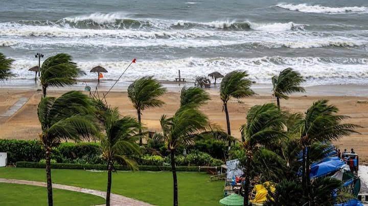
The cyclone recently crossed the Andhra Pradesh–Yanam coast and weakened as it moved inland. Its effects included adverse weather conditions across parts of eastern India, according to the information provided.
With another system potentially developing over the Andaman Sea, the future weather situation across the Bay of Bengal region remains under observation.
However, the formation of a Low Pressure Area does not automatically mean that another cyclone will develop or affect Odisha. The system’s future course will depend on how it evolves and the direction in which it moves.
Future Movement and Intensity Yet to Be Confirmed
At present, the IMD has not issued a definitive assessment regarding the new system’s subsequent movement, possible intensification or potential impact on Odisha.
The next stage will be the expected formation of the Low Pressure Area, followed by continued monitoring of its development.
Meteorologists will assess whether the system strengthens, changes direction or remains a relatively weak weather disturbance. Any assessment of potential rainfall, wind conditions or landfall will depend on subsequent forecasts.
Residents are advised to follow official IMD bulletins rather than rely on speculation about another possible cyclone.
Weather Department to Continue Monitoring the System
The emergence of a fresh weather system so soon after Cyclone Arnab highlights the need for continued monitoring of conditions over the Bay of Bengal and the Andaman Sea.
The IMD will provide further updates as new observations become available and the system’s development becomes clearer.
For Odisha, the immediate focus remains on monitoring existing weather conditions and following official advisories. Any future warning concerning the new system will depend on its actual development and projected movement.