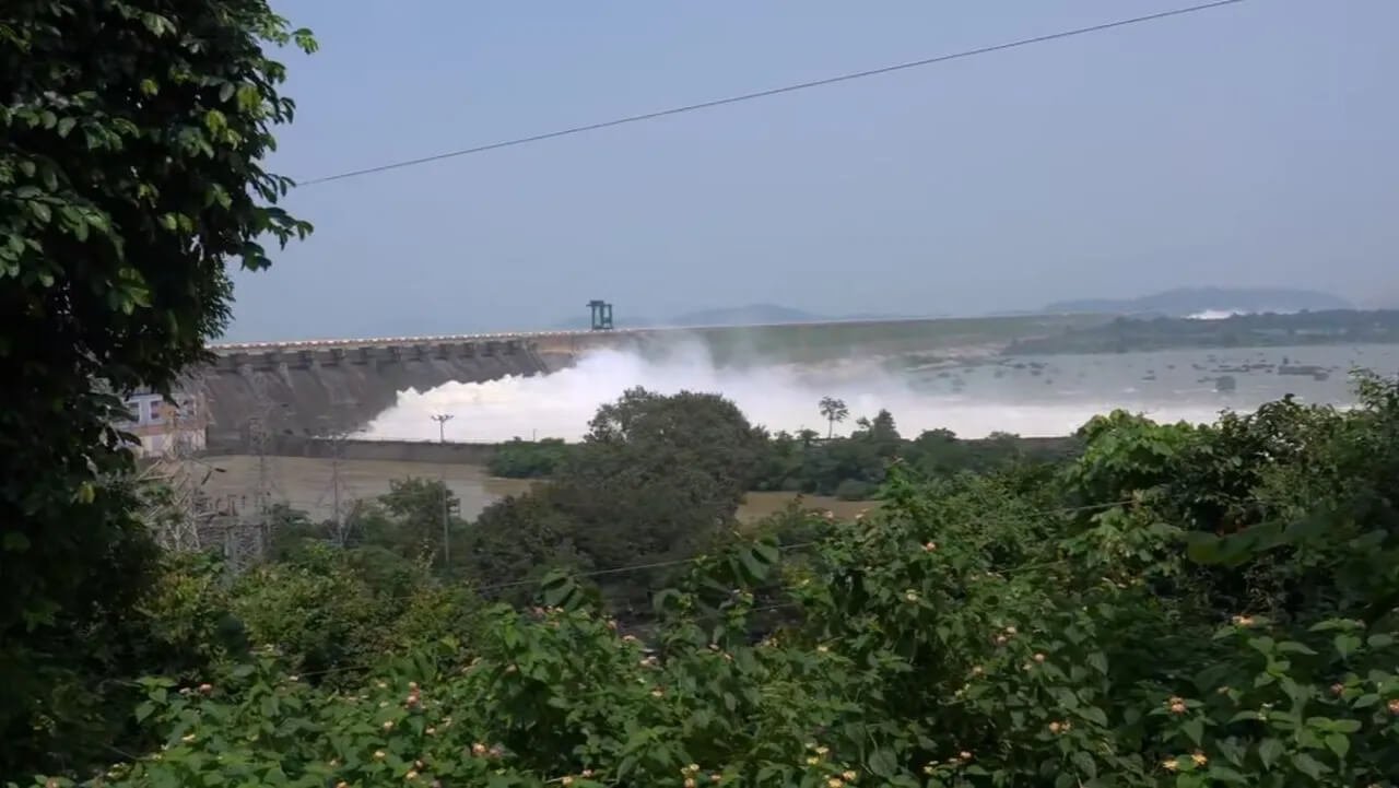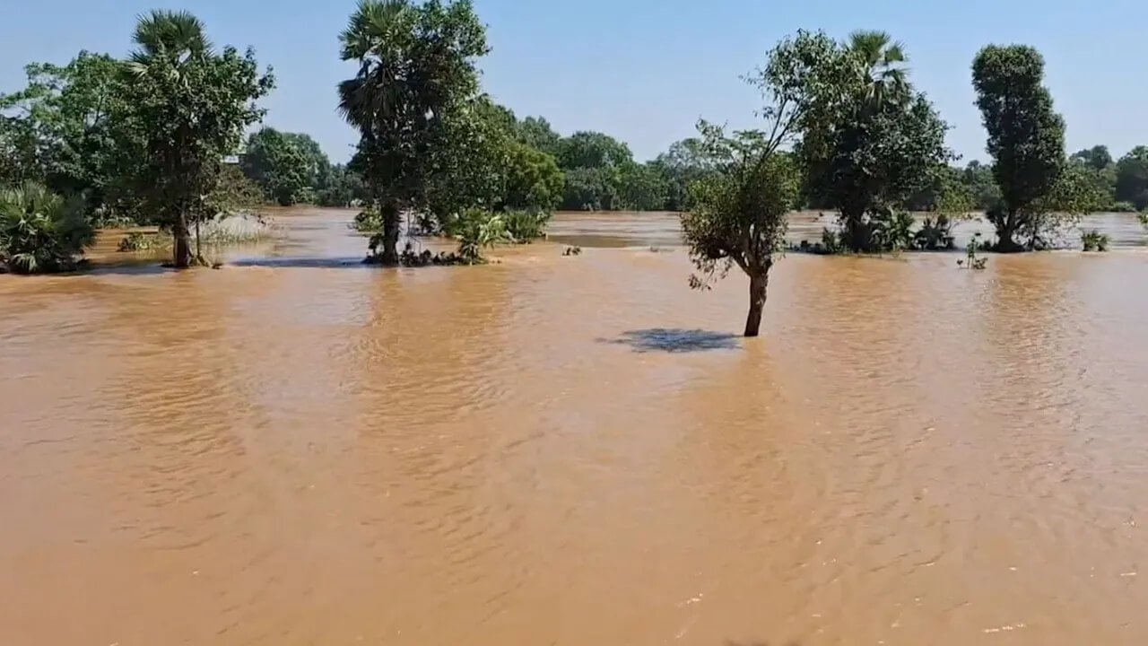


Bhubaneswar: Odisha Chief Minister Mohan Charan Majhi on Sunday conducted an aerial survey of flood-affected areas in Ganjam, Koraput and Nabarangpur districts to assess the situation following the recent floods and review the extent of damage.
The Chief Minister travelled from Bhubaneswar towards Kalinga Ghati, the important road corridor connecting Ganjam and Kandhamal, as part of the assessment. The helicopter survey is aimed at providing officials with a broader view of areas affected by flooding, landslides and related damage.
Kalinga Ghati Remains Closed Indefinitely
A key focus of the Chief Minister’s visit is the condition of Kalinga Ghati, where two landslides have disrupted road connectivity.
The route has been closed indefinitely on safety grounds, with large rocks and debris remaining on portions of the road. The landslides have made movement through the affected stretches dangerous, particularly amid continuing concerns over the stability of the surrounding slopes.
During the aerial assessment, the Chief Minister is expected to review the condition of the ghati road and examine the extent of damage caused by the landslides.
Flood Damage in Three Districts Under Review
The aerial survey is also focused on the post-flood situation in Ganjam, Koraput and Nabarangpur.
The assessment will provide an overview of the impact of flooding on roads, settlements and other infrastructure in affected areas. The survey is also intended to help authorities understand the extent of damage and identify areas requiring immediate attention.
Aerial assessments can allow officials to examine affected locations that may be difficult to access by road due to floodwaters, landslides or damaged connectivity.
Suresh Pujari and SRC Join Chief Minister
Suresh Pujari and Special Relief Commissioner (SRC) Rajesh Prabhakar Patil are also joining the Chief Minister during the helicopter-based survey.
Their participation will allow senior officials to review the flood situation and coordinate the assessment of damage across the affected districts.
The survey is expected to cover both flood-affected areas and the damaged Kalinga Ghati route.
Focus on Restoration and Relief Measures
The assessment comes at a time when several parts of Odisha are dealing with the aftermath of heavy rainfall, flooding and landslides.
The condition of roads and other infrastructure remains an important concern, particularly in hilly areas where landslides can further disrupt connectivity.
The findings from the aerial survey will help authorities assess the scale of damage and determine the areas requiring restoration and relief measures.
The indefinite closure of Kalinga Ghati is also expected to remain in place until officials are satisfied that the route can be made safe for public movement.