

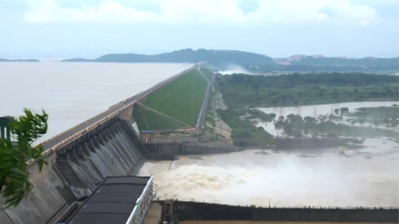
Authorities on Friday opened 10 more gates of the Hirakud Dam in Odisha’s Sambalpur district following a steady rise in the reservoir’s water level due to persistent heavy rainfall in the upper catchment areas.
The decision comes after excess floodwater was earlier released through two gates, as officials continue to monitor inflows and downstream conditions.
Reservoir Water Level Nearing Full Capacity
As of 6:00 am, the water level in the Hirakud Reservoir stood at 623.52 feet, inching closer to its full reservoir level of 630 feet.
Heavy rainfall over the past few days has resulted in a continuous inflow of water into the reservoir, prompting dam authorities to regulate the discharge to maintain safe storage levels.
Over 3.69 Lakh Cusecs Flowing Into Reservoir
According to official data:
- Water inflow: 3,69,322 cusecs per second
- Water outflow: 65,543 cusecs per second
Officials said the reservoir continues to receive a significant volume of floodwater, necessitating careful gate operations based on downstream conditions.
Chief Engineer Explains Gate Operations
Hirakud Dam Chief Engineer Sanjay Kumar Choudhary said the gates are being operated after assessing the flood situation in low-lying areas downstream.
“The gates are being operated keeping in view the conditions in the low-lying areas. At present, around 8 lakh cusecs of water is passing through Mundali, and the discharge is expected to gradually decline. A flow of up to 10 lakh cusecs is considered a flood situation. According to the India Meteorological Department (IMD), there is no forecast of rainfall until August 4.”
He added that authorities will review the situation again after 2:00 pm before deciding whether additional gates need to be opened.
Authorities Continue Close Monitoring
With the reservoir level rising steadily, dam authorities are maintaining close surveillance over inflows, downstream river conditions, and weather forecasts.
Officials said any further decision regarding the operation of additional gates will depend on the reservoir’s water level, inflow trends, and the overall flood situation in downstream areas.