

A low pressure system is likely to develop over the southeast Bay of Bengal around May 10, according to projections from multiple global weather forecasting models. However, meteorologists say there is still considerable uncertainty regarding the system’s strength, trajectory, and future development.
Leading international weather models, including the GFS and ECMWF, have indicated favourable conditions for the formation of a low pressure area over the region in the coming days.
The GFS model had earlier hinted at the possible development of a weather system over the southeast Bay of Bengal. The ECMWF model has also projected the formation of a low pressure area near the coasts of Tamil Nadu and Sri Lanka around May 10.
Despite these projections, weather experts caution that it is too early to predict whether the system will intensify further or which direction it may eventually move after formation.
Odisha Continues To Witness Kalbaisakhi Rainfall
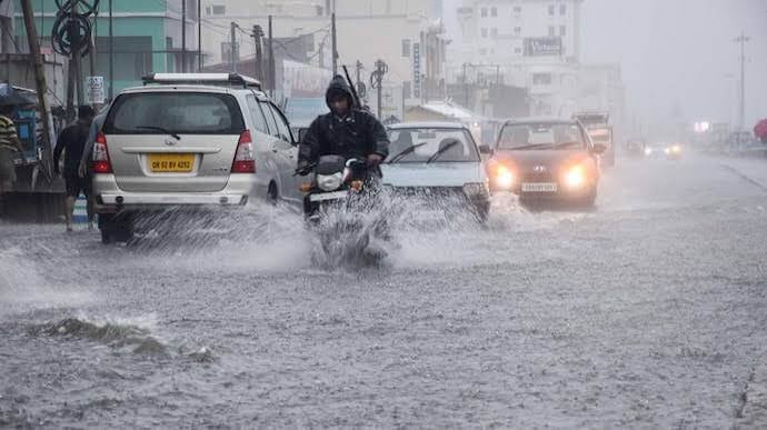
Meanwhile, several parts of Odisha continue to experience Kalbaisakhi-related thunderstorm and rainfall activity under the influence of a trough line extending across central India.
The pre-monsoon weather pattern has triggered intermittent rain, lightning, gusty winds, and thunderstorms across multiple districts over the past few days, bringing temporary relief from rising temperatures.
Meteorologists said the behaviour of the possible low pressure system may become clearer after May 11, when the existing trough line influencing eastern and central India is expected to weaken gradually.
Weather Models Under Close Watch
Weather agencies and experts are closely monitoring developments over the Bay of Bengal as sea surface temperatures and atmospheric conditions remain favourable for cyclonic circulation during the pre-monsoon season.
Any significant intensification of the low pressure system could potentially influence weather patterns along India’s eastern coastline, including Odisha, Andhra Pradesh, and Tamil Nadu.
However, officials stressed that no definitive forecast regarding cyclonic development or landfall can be made at this stage.
Pre-Monsoon Activity Expected To Continue
Odisha is expected to continue receiving scattered thunderstorms and rainfall over the next few days as Kalbaisakhi activity remains active across the region.
These pre-monsoon storms, common during April and May in eastern India, are often accompanied by lightning, strong winds, and localized heavy rainfall.
Authorities have advised residents to stay updated with official weather bulletins as conditions over the Bay of Bengal evolve in the coming days.